Pacific Rivers is working hard to protect the 24 million acres managed under the Northwest Forest Plan, 2.5 million acres of Oregon’s O &C Lands, and ensuring Oregon’s state forests are managed in a way that balances timber, clean water, healthy rivers, and outdoor recreation.
Northwest Forest Plan
These 24 million acres are managed under the Northwest Forest Plan. Within the Northwest Forest Plan is the Aquatic Conservation Strategy — the most successful and progressive aquatic conservation plan that we know of in the nation. The Aquatic Conservation Strategy has several key parts to help protect clean water, and recover threatened and endangered salmon and other aquatic species:
It designates and manages Key Watersheds for fish, wildlife, and drinking water.
It identifies which watersheds are in need of restoration.
It requires monitoring of our watersheds to help ensure consistent, reliable information (though funding for this is rarely sufficient).
It designates and protects a buffer of standing trees along rivers and streams wide enough to keep rivers cool and clean for fish, wildlife, and people’s drinking water. These are called Riparian Reserves.
It limits logging and road construction next to salmon streams and on steep slopes.
And it encourages the removal of old logging roads that send polluted runoff into rivers and streams.
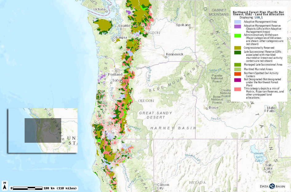
Map by DataBasin
Currently, the Northwest Forest Plan is being rewritten by the U.S. Bureau of Land Management and U.S. Forest Service. The timber industry is pressuring the agencies to allow more timber harvesting. And the only places the agencies can legally allow more harvest is near rivers and streams. We have seen it happen already in the Bureau of Land Management’s proposed changes. We are fighting those, and we are working closely with the Forest Service to keep the Northwest Forest Plan intact. Because the Northwest Forest Plan is the best shot we have of protecting watersheds for fish, wildlife, and people.
O & C Lands
Oregon was once the largest timber producer in the world, and much of this timber came from Oregon’s so-called O&C Lands — 2.5 million acres set aside for the now defunct Oregon and California Railroad. Now they are at risk.
O &C Lands are scattered throughout western Oregon. These forests are managed by the Bureau of Land Management and provide beloved hiking trails, drinking water, wildlife habitat, and carbon storage.
O &C Lands are scattered throughout western Oregon. These forests are managed by the Bureau of Land Management and provide beloved hiking trails, drinking water, wildlife habitat, and carbon storage.
O&C Lands are Important
1.8 million Oregonians get their drinking water from rivers that flow through our O&C Lands and O&C Lands are in every county but one in western Oregon, including the Portland Metro Area. The majority of western Oregon’s best remaining rivers – Rogue, Umpqua, Illinois, Coquille, Siuslaw, Alsea, Nestucca, Trask, Sandy, Clackamas, Molalla, McKenzie, and others – flow through O&C Lands and they are among the most productive softwood forests and storehouses of carbon in the world.
O&C Lands are hard to protect
Most of the O&C Lands are 640-acre or smaller parcels of federal land interspersed with privately owned lands as you can see on the map above. Their scattered nature makes these lands’ rivers and streams difficult to protect because management varies dramatically throughout. The O&C Act allows for a large percentage of timber harvest revenues to go to counties to support essential services like schools and law enforcement. This creates pressure to log them. There have been numerous efforts to increase logging on O&C Lands, usually near rivers and streams because there are no other places left to cut that aren’t protected by law for endangered species or wilderness.
See our short film from 2013, Forests to Faucets: Clean Water or Clearcuts:
See our short film from 2013, Forests to Faucets: Clean Water or Clearcuts:
Oregon State Forests
In western Oregon, balanced management is threatened by some timber companies and politicians who advocate for aggressive logging over all other values.
Our goals include:
Our goals include:
- Long-term, visible conservation areas on state forests, which protect critical values that industrial-style timber plantations do not provide
- Strong biodiversity on these forests, including the recovery of threatened and endangered species
- A healthy Oregon Department of Forestry State Forest Division that is fully funded by a stable and diverse revenue stream
- Abundant and diverse recreation opportunities for Oregonians and visitors that builds appreciation for state forests and supports local economies
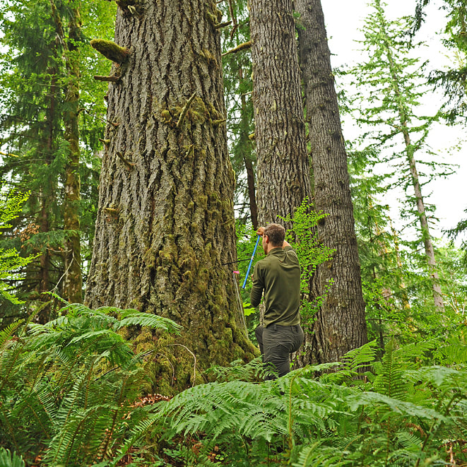
Chris Smith taking a coring sample
